Year published :2004
Pages :209 pp.
Size :21.5x29.5 cm.
Rights :World, except France
ISBN: 9789749575437
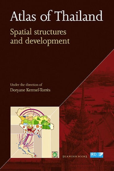
Atlas of Thailand: Spatial Structures and Development
by Doryane Kermel-Torrès
About the Author
was geographer at the French Institute of Research for Development (IRD, "Public Intervention, Spaces, Societies" Research Unit). She has conducted projects in Thailand for several years, principally related to the transition from agriculture to industry.
Reviews and Awards
Choice Outstanding Academic Title 2005:
Chosen by the Choice editorial staff, these titles are awarded for their excellence in scholarship and presentation, the significance of their contribution to the field, and their value as important—often the first—treatment of their subject:
“Substantial, informative, and welcome, this guide to the spatial, social, and economic geography of Thailand was produced by 12 scholars, primarily French geographers. Their work is based on statistical and other data systematically gathered over a number of years, processed using sophisticated computer technology, then further interpreted, organized, and presented in 70 color plates of maps, each accompanied by an informative, analytical, descriptive text The authors draw on many published and unpublished data sources from the National Statistical Office, the Ministry of Industry, and other agencies. Many plates represent aspects of Thai spatial geography as of 1996. Others present comparative data covering a span of years; a few are historical. The authors provide a selected bibliography, but no place-name or other index. Unlike traditional atlases, this is not intended to serve primarily as a guide to the topography of Thailand or as an aid to travelers. Instead, it makes an important scholarly contribution by synthesizing and interpreting an abundance of Thai spatial, social, and economic data. Two publications, somewhat similar in character, are Tu Lap Vu and Christian Taillard’s Atlas du Viet Nam (Montpellier; Paris, 1994), and Bounthavy Sisouphanthong and Taillard’s Atlas of Laos: The Spatial Structures of Economic and Social Development (Copenhagen, 2000). Summing up: Highly recommended. Academic collections.” L. S. Dutton, emeritus, Northern Illinois University


Share this item: